Aitronik presents its new automation unit
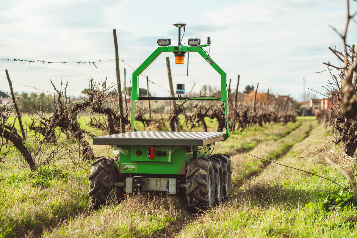
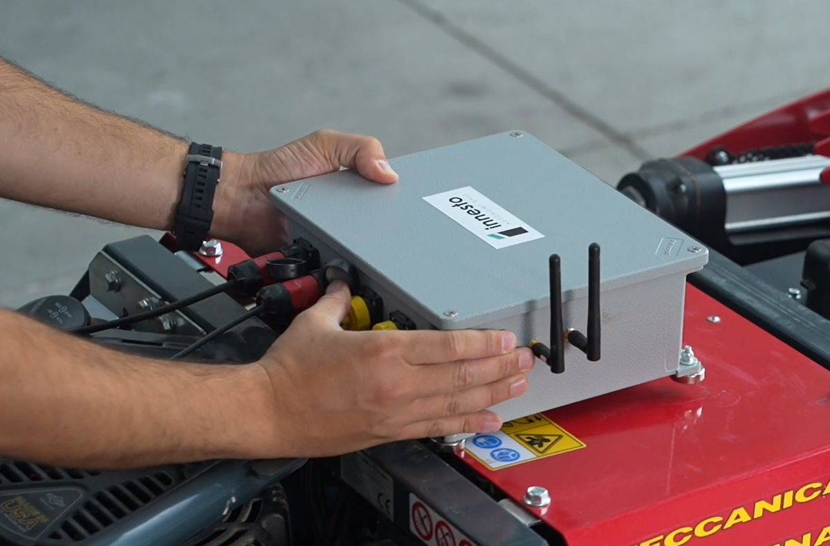
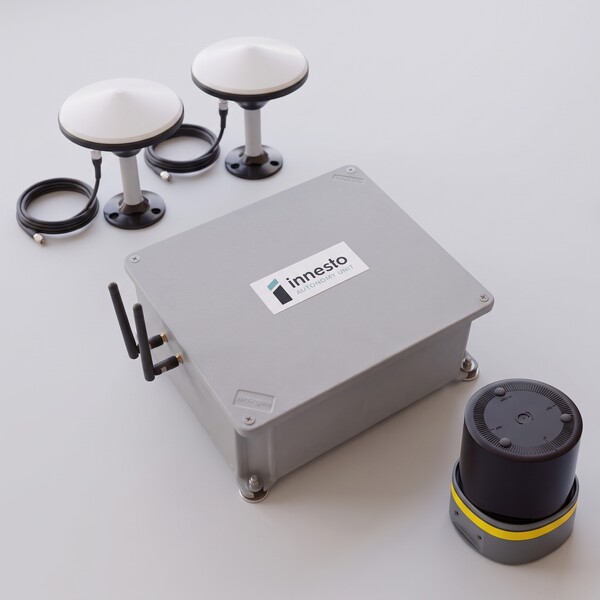
Aitronik a Tuscan company specializing in robotics and navigation software, is presenting its “Innesto Autonomy Unit” at EIMA International. This modular hardware and software automation unit is capable of transforming agricultural machinery into semi-autonomous or fully autonomous vehicles. This solution is dedicated to manufacturers with the aim of reducing the costs of development from scratch and accelerating time-to-market. Thanks to a plug-and-play approach, the system enhances a vehicle's existing mechanics without requiring redesign. The hardware is enclosed in a rugged flanged aluminum box, designed for quick installation in off-road environments and equipped with a computing unit, IMU sensor and industrial communication interfaces (4G, Wi-Fi, Bluetooth, Canbus, and Ethernet). The system is modular and grows with the manufacturer's needs. Aitronik offers three configurations. The GNSS-only (Outdoor Open Field) configuration relies entirely on RTK satellite localization to ensure centimeter-level accuracy. It is intended for the automation of predefined routes in open areas, where the signal is not interrupted, and does not include active obstacle detection systems. The Lidar-only configuration (Indoor and structured Outdoor: dense rows, greenhouses) frees the vehicle from the satellite signal, relying on optical perception and introducing active safety protocols, ensuring automatic shutdown in the event of obstacle detection. The GNSS + Lidar configuration (Indoor and Outdoor) is the union of the two systems and ensures operational continuity and precise localization even when managing areas with degraded GNSS signal (for example transitions between field and structures). Custom configurations with Camera and/or Radar can be made available upon request. The system's strong point is its container-based software architecture with layered parameter management. According to the manufacturer, this "custom" approach ensures rapid tuning of new vehicles and the release of updates. The operator interacts via a Web UI that acts as Mission Control. The interface allows the user to manage live telemetry, edit routes, exclude zones and communicate directly with the equipment connected to the vehicle. The integration process includes up to three months of engineering and regulatory support until the first operational prototype is released.